Episode 142
Tramping and Exploring Aotea Great Barrier Island with Kristina Montgomerie

Episode 142
Tramping and Exploring Aotea Great Barrier Island with Kristina Montgomerie
Spotify Apple Podcasts Everywhere else Download
Kristina was one of my very first guests, back when she told me all about the Pouakai Circuit. So when I saw her second trip to Aotea Great Barrier Island pop up, I knew we had to have her back on. I've never been (I need to get there sometime), so I had soooo many questions.
Kristina is a travel and outdoors content creator and photographer, and she gets out on more hikes than almost anyone I know. Some weeks I'm like, is Kristina on another trip? And she is. She also keeps a mega spreadsheet of every hike she wants to do, which I could never ever keep up.
So this one is a proper Aotea guide. How to get there, the Aotea Track two ways (plus the track she'd tell you to avoid), Kaitoke Hot Springs, the mermaid pools and the beaches, and all the practical stuff like food, power and phone signal. And we talk about tramping and staying in huts with a baby, her content creation, and what's next on that spreadsheet.
In this episode
- Kristina's outdoor story and her hike spreadsheet
- Tramping and van trips with a baby
- Getting to Aotea Great Barrier Island
- The Aotea Track, two-day and three-day versions
- Kaitoke Hot Springs
- Aotea beaches, mermaid pools and short walks
- Planning an Aotea trip: food, power, signal and seasons
- Content creation and what's next for Kristina
Kristina's outdoor story and her hike spreadsheet
Kristina was born in Switzerland and moved to New Zealand when she was about three. She grew up in Taupō, doing lots of outdoorsy stuff, and got into orienteering, where you're given a map and have to find the checkpoints, traipsing through forests and fields. Regular weekends were spent down by the mountain in Tongariro, playing out in what they called the long grass.
She didn't get back into hiking until she finished uni, after years focused on her studies, and realised there was a whole other world out there that could get her away from a screen.
These days she does a lot of quite challenging hikes. Recently she walked out to Barker Hut in Arthur's Pass over two days, 25 kilometres each way, and the first day took them 11 hours. Kristina admits two days was probably a little bit much.
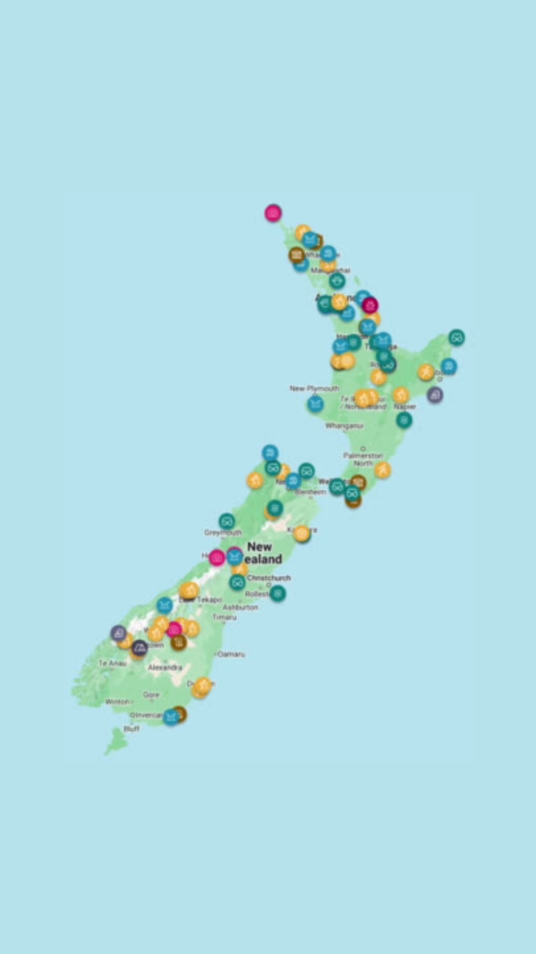
Her hike spreadsheet is still going strong (she's a serial over-planner), and she's turning it into a map on Rexby, mostly big New Zealand hikes.
Tramping and van trips with a baby
The other big change since Kristina was last on the podcast is her son. They took him on his first overnight hike when he was five weeks old, went camping and kept it up from there. It meant Kristina got stronger as he grew heavier. She still goes on quite extreme hikes (Barker Hut was a baby-free trip), and she reckons getting outside is the easy option:
"I find it much easier going outside with him than keeping him indoors because he just tears the house apart."
Van trips
They've done a few van trips with him too. He didn't like his car seat at the back of the van, so one of them drove while the other sat in the back entertaining him. Kristina's trick is multiple stops to wear him out, so he sleeps in the car between them.
Carrying the gear
Recently they camped in the Valley of the Trolls, off the Routeburn Track. Her husband carries the baby, with room in the carrier for his sleeping bag, some baby gear and snacks (and the dirty nappies). Kristina carries everything else. Popular tracks like the Routeburn are easier, because there are public facilities. Going completely remote means heavier packs, with extra emergency gear and food, because you can't hike out quickly if something happens. Now he's getting older, she's starting a list of kid-friendly hikes.
Babies in huts
Sometimes they arrive at a hut and get the look from people worried they won't sleep. Kristina takes earplugs to hand out, and in her experience the snorers are worse than any kid she's shared a hut with. As she puts it:
"how are you going to raise your kid to appreciate the outdoors and … learn about that kind of thing if you're not taking them out there?"
I've had quite a few mums on the podcast talk about hiking with kids. When people aren't happy about kids in huts, I say take your earplugs and your eye mask. It's a public space, and kids have every right to be there.
Getting to Aotea Great Barrier Island
Aotea Great Barrier Island sits off the east coast of Auckland, in the Hauraki Gulf. You can get there by plane or by boat.
Kristina has flown both times. The flight takes about 45 minutes, and they flew with Barrier Air, who she says were really good. On the latest trip the forecast was iffy, and they were glad they flew: other trampers said they got really seasick on the boat.
They booked through Go Great Barrier Island, got a bit of a discount on the flights, and had a rental car organised too (about $80 a day for a RAV4 when we recorded). There isn't much public transport, so Kristina recommends a rental car. You can get a shuttle for the hike, but with three of them the car worked out cheaper and more flexible.
Her first trip was four days with her husband, before the baby, and they crammed it in: go, go, go from sunrise till sunset. This time she went with a couple of girlfriends who had never been, for five days, so there was a bit more time to walk the Aotea Track as well.
Bennett, who talked about the Hauraki Gulf islands on the podcast, wants to kayak to Aotea, but the crossing is the problem. Another friend kayaked all around the island over five days, taking the kayak over on a ferry. They're trying to talk me into it, and it feels too far outside my comfort zone.
The Aotea Track, two-day and three-day versions
The DOC information says the Aotea Track takes two to three days, but the two-day and three-day versions are quite different walks. Kristina has done both.
The two-day crossing from Windy Canyon
The two-day version is a crossing from one end to the other. You start at Windy Canyon, at the top of the Aotea Conservation Park. Right at the start you climb a steep, narrow canyon between two slabs of rock, which is very beautiful. Be prepared for a lot of stairs. Near the top, on a clear day, you can see all the way to the coast on both sides.
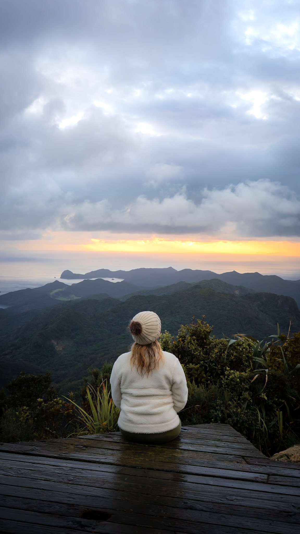
From there, windy stairs take you all the way up to the Mount Hobson summit. On a clear day you can see right across the whole island and all the way back to Auckland and the Coromandel. Kristina highly recommends it. It's about half an hour down to Mt Heale Hut, then from the hut you walk down to Kaitoke Hot Springs and out the other side.
The Tramline Track: give it a miss
On their first trip, Kristina and her husband tried to turn the two-day version into a loop, taking what the map called the Tramline Track from the hot springs back towards Windy Canyon. She would highly recommend that people do not take this track: very steep clay slopes with gorse on either side, plus a river crossing they weren't expecting. It took far longer than she thought, and at the road end she sat down and sent her husband running off for the car.
Her advice is to do it the recommended way: start at Windy Canyon, finish at Kaitoke Hot Springs, and get a shuttle back to the start.
The three-day version via Kaiaraara Hut
The three-day version is the one they did this time, and it was really cool. You start at Kaitoke Hot Springs and walk over to the west side of the island, to Kaiaraara Hut near Port Fitzroy. That first day is about 18 kilometres, and it took them five and a half hours.
Kaiaraara Hut is right on the river, with cool river swims, and a half-hour walk takes you to the bay for another swim. The hut has solar lights (a bit of a luxury) and toilet paper.
Day two goes up to Mt Heale Hut. It's all uphill, and it took them just under three hours, including a 40-minute lunch stop. They went up the South Fork Track, because the other route has a massive slip across it. Locals didn't recommend it, and having seen the slip from the South Fork Track, Kristina wouldn't try going over it either.
From Mt Heale Hut, the summit is a half-hour side track. Then on the last day you follow the same track as the two-day version, down to Kaitoke Hot Springs and out. The only part you miss is Windy Canyon, so they drove up afterwards and walked into the canyon to see it.
Kaitoke Hot Springs
You can walk to Kaitoke Hot Springs on their own, on a nice, flat, easy track from the car park. They're popular with locals. Kristina's group walked past on the way in and out (it was pouring on the last day), then walked back in the next morning.
Kristina loves Kaitoke Hot Springs, because there's not a lot of tourism and it feels very untouched. There are steps down into the river and benches at the start. After a lot of rain the water isn't as hot. If it feels lukewarm where you get in, head further upstream, where it gets warmer. It was raining while they were there, and it was still super nice.
Kristina grew up in Taupō, where the free public hot stream used to be a big hangout spot. It used to be super hot, and every time she's been since the renovations, it hasn't been very hot at all.
I've noticed the same thing there. And the first time I went to Kerosene Creek, out of Rotorua, we hopped in at the stream and I thought it was so lukewarm. I didn't realise you have to go down to the waterfall, where it's hot. Natural hot springs depend on the rain and the flow of the river.
Aotea beaches, mermaid pools and short walks
If you're not doing the Aotea Track, there's plenty more on the island.
- Kaitoke Mermaid Pools. A bit of a hidden gem at the south end of Kaitoke Beach, between Kaitoke Beach and Medlands Beach. Drive down the little road between the two beaches, park, head to the south end of Kaitoke Beach and climb along the rocks. Go at low tide, because at high tide they're not accessible. There are two beautiful mermaid pools, completely pristine.
- Medlands Beach. Very beautiful, with white sand. At the south end there's a little trail up to the cliff, quite a steep little hike, with really beautiful views from the top. Worth it if you want something shorter.
- The remote northern beaches. Kristina recommends a four-wheel drive for these: once you leave the main area, the roads are windy, unpaved and gravelly.
"there was nobody else there. So it felt like we just kind of walked into this remote paradise."
The east coast beaches are a bit more choppy, so you can go surfing. Over on the Port Fitzroy and Tryphena side, it's much calmer. Kristina would say both sides are swimmable, and they got in.
The main thing to keep in mind is that Aotea is very remote, so there aren't a lot of touristy things to see. It's very nature-focused: short walks, beautiful beaches and swimming.
Planning an Aotea trip: food, power, signal and seasons
Food and cafes
There are no supermarkets on the island, only two little general stores, and they're quite a bit more expensive than Auckland. Take some of your own food, especially for hiking, because they don't stock dehydrated meals. The Tryphena store has the most options for cooking your own. Cafe hours are varied and seasonal, and they also stopped at an Irish pub in Tryphena.
Off-grid Airbnbs
A lot of Airbnbs on the island run on solar power, so hosts often ask you to conserve electricity, especially after a run of cloudy days. After a week of rain before they arrived, Kristina's group came back from dinner one night to no power, and their host came over and plugged in the generator.
Phone signal
Kristina found the cell coverage fine. The only day without proper signal was the first day of the three-day walk, from Kaitoke Hot Springs to Kaiaraara Hut, where there were only iffy patches. From Mt Heale Hut there was signal the whole time, and on the walk out to the hot springs too. Port Fitzroy had signal, but the remote beaches further north didn't. It depends on your provider: Kristina is with 2degrees and one friend was with One NZ, and they both had signal at times when their third friend didn't.
I'm with Spark, so that was really good to know.
When to go
Both of Kristina's trips were in April, one at the start of the month and one at the end. The first trip was sunny the whole time. The second had three sunny days and two days of rain, which is New Zealand weather for you.
She'd recommend the shoulder seasons. She prefers longer hikes when it's a bit cooler, and autumn meant it wasn't too cold for the mermaid pools and the beaches, or too hot to want to sit in the hot springs.
Content creation and what's next for Kristina
I have hard drives full of photos I've never shared, and it turns out Kristina does too. That's the part you don't see on social media.
Her system: on Sundays she plans what she'll post that week, aiming for four posts on dedicated days. She still likes to make her grid look nice, which slows her down a little. If she hasn't planned anything, she'll repost a trip she loved, because a post that got no reach the first time can find people later.
She's done a few commercial gigs and a lot more brand collaborations, and she loves bringing her creative vision to life. Some weeks are still a struggle, because the algorithm changes all the time.
Next on the list is the Milford Track, which she's never done. She plans to walk it off season, in October, so she can do it in three nights. They did the same with the Kepler Track last year and it worked really well, with a little snow on the trail. She thinks the Milford is one of the trickier Great Walks logistically, with the shuttles and pickups.
Her next winter adventure is a hike up to Syme Hut on Taranaki once the first snow arrives, with crampons, an ice axe and a helmet.
I still haven't been up to Syme Hut, so I might be getting some tips from Kristina.
Places from this episode
- Aotea Great Barrier Island
- Aotea Track
- Aotea Conservation Park
- Windy Canyon
- Mount Hobson
- Mt Heale Hut
- Kaitoke Hot Springs
- Tramline Track
- Kaiaraara Hut
- South Fork Track
- Port Fitzroy
- Tryphena
- Kaitoke Beach
- Kaitoke Mermaid Pools
- Medlands Beach
- Hauraki Gulf
- Auckland
- Coromandel
- Taupō
- Tongariro
- Barker Hut, Arthur's Pass
- Valley of the Trolls
- Routeburn Track
- Kerosene Creek, Rotorua
- Milford Track
- Kepler Track
- Syme Hut, Taranaki
Follow Kristina
Kristina shares her hikes mainly on Instagram, where her Rexby map is linked from her bio.
Links from this episode
- Follow Kristina on Instagram: instagram.com/kristinamonts
- Follow Abigail on Instagram: instagram.com/abigailhannnah
- Follow Aotearoa Adventures on Instagram: instagram.com/aotearoa_adventures_
More like this
- Best Spots and Hidden Gems in the Bay of Plenty & Coromandel with Ciska
- Waterfalls, Beaches, Geothermal Wonders and Other Hidden Gems in the North Island with Barbie Sharma
- Best Auckland Adventures for Kids with Outdoorsy Hijabi Mum Veronika Edali
- Solo Expedition on Rakiura and ADHD with Wild Boy Brando Yelavich
Until then, keep adventuring :)
The ultimate
NZ road trip adventure guide
Packed with insider tips and stunning photography, this is the only resource you need to plan your journey.