
Spotify Apple Podcasts Everywhere else Download
When the Roady app launched, it went straight onto my phone next to Instagram, and I kept opening it. More pictures, more places I haven't ticked off yet! So I really really wanted to hear how it came about.
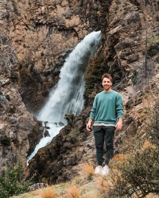
Roscoe is the founder of Roady, a travel company that had launched its app a few weeks before we recorded. He lives in Wellington with his partner and an English pointer pup, he used to teach PE and outdoor education, and he's a self-confessed planner who is way too optimistic about how much he can fit into a day (I feel seen).
So we get into why planning a Kiwi road trip was so hard, how a non-developer ended up building an app, and how the leaderboard works (I may have been top of it). Then Roscoe shares the places he rates: a storm-battered sunrise mission up Mount Stokes, a limestone chasm on a farm, landing on a glacier, and a weekly winter swim in Wellington.
In this episode
- From cricket in Manchester to a Kiwi road trip
- How the Roady app works
- Building an app as a non-developer
- How Roscoe plans his own trips
- Sunrise on Mount Stokes in the Marlborough Sounds
- Roys Peak or Isthmus Peak
- Patuna Chasm and glacier landings
- Winter ocean swims and beach or mountains
From cricket in Manchester to a Kiwi road trip
Roscoe did a fair bit of travel as a kid, as a very active traveller: lots of walking, biking and kayaking. He was born in South Africa, and travelling there when he was young, in a completely different culture, is what sparked his love for travel and new places.
In his early twenties, fresh out of uni, cricket was a big part of his life, so he spent a year in Manchester playing a season and travelling around Europe. Back home, he realised what a lot of Kiwis do: he'd gone halfway across the world but hadn't explored his own backyard. So he set out to see more of New Zealand, and worked out pretty quickly how difficult it was to plan a road trip here.
He was pulling inspiration from Instagram photos and information from bloggers, and kept finding the classic, cookie-cutter tourism experiences. He'd been swimming in swimming holes in Greece, finding waterfalls and doing hikes, and that's what he wanted at home. Some of his best travel memories were the classic summer road trip with mates, fresh out of school. So he wondered how to turn that into a business and make those places easier to reach.
I struggled with exactly the same thing when I was planning road trips. So many blogs seemed to have the same places over and over, often written by visitors who only saw the highlights, and I'd be left wondering where the gems were.
From self-drive tours to an app
Before COVID, Roady offered self-drive tours for international travellers: car, accommodation and a customised itinerary. It was going well, and then COVID put a pretty big stop to it. With no internationals coming over, Roscoe turned to an app. In some ways it does the same thing, but it takes out the middleman (Roady, behind the scenes, doing a lot of manual work), so more people can plan these trips for themselves.
What he wants is for people to explore parts of New Zealand they wouldn't have considered. There's nothing wrong with Queenstown, but a lot of us go to the same places and get stuck in our ways.
"I'm just really trying to encourage people to go and you know explore New Zealand far and wide … because every part of New Zealand is so unique and so special."
Teaching first
Before Roady, Roscoe taught PE and outdoor education at a secondary school. The holidays were decent, and outdoor ed meant taking students away on overnight hut trips, a cool thing to teach. As Roady got off the ground, he moved from full time to relief teaching, dropping his hours until he could go all in.
How the Roady app works
Roady is a tool for accessing local knowledge and planning trips. When we recorded, the app had over 400 experiences, all focused on things to do (accommodation and car hire are out of it for now).
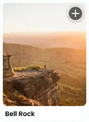
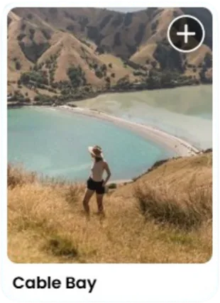
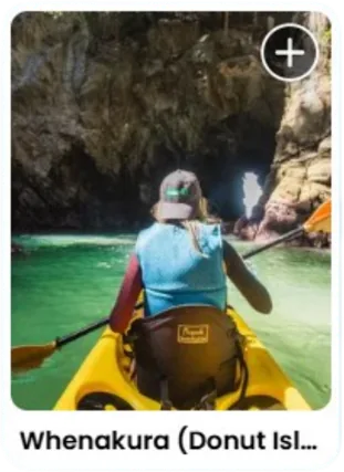
It's very visual. The other side of Roady is creating destination content for tourism boards and brands around New Zealand, and that's stayed the same while the business model changed, so they've built up a big bank of photos and videos.
- Bucket lists. Use the photos for inspiration and save spots into itineraries. Planning a trip along the West Coast? Add your favourite spots from Punakaiki, Franz Josef and Haast.
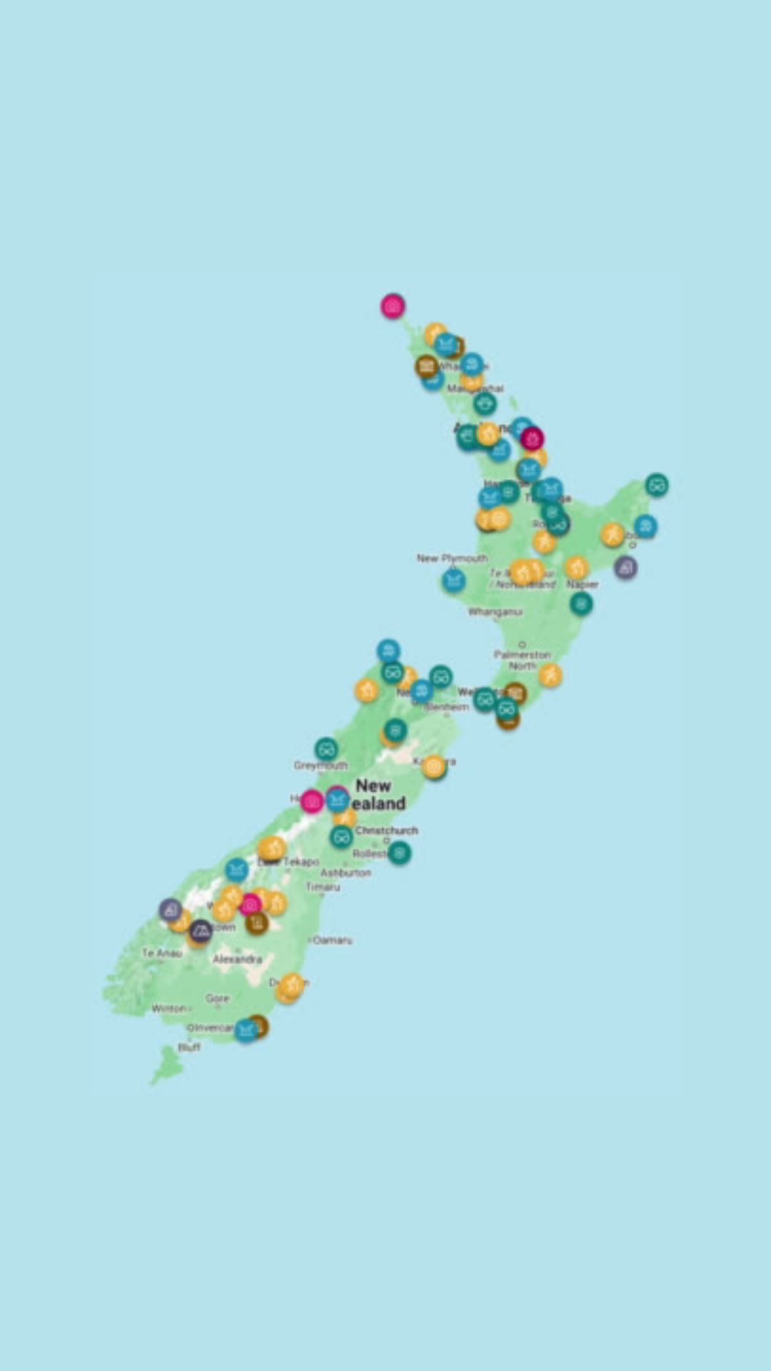
- The map. Everything you've saved sits on a map, so you can see what's nearby.
- Tick-offs. Once you've visited an experience, you tick it off by uploading a photo and giving it a rating, and you can leave a helpful tip for other travellers.
- The leaderboard. It records how many experiences you've ticked off. When we recorded, I was at the top.
- Badges. Tick off hikes and you earn a beginner hiking badge, then move up a level. There are regional badges for ticking things off in places like Wānaka or Northland, in a nostalgic Boy Scout style. Roscoe is so happy with the designers' mahi on the illustrations.
The map is my favourite part, because it's basically what my Google Maps used to look like. I'd save places I heard about from friends, Instagram, blogs or magazines, then open the map on the road to see what was nearby. Roady has done that groundwork for you.
Before building the app, Roscoe spent so much time talking to people about their pain points with planning travel. So many were doing the same thing, or dumping links into Google Docs. That's the problem Roady is trying to solve: one platform, with the map and all the information in one place.
The Roady badge
The badge I don't have yet is the Roady badge, for ticking off something in every region. Wairarapa and Wellington are letting me down, because the only times I've been to Wellington were to catch the ferry to the South Island. Roscoe doesn't have it either, and he's done very little in Auckland: every time he's there, it's for an event, never to get out and about.
Building an app as a non-developer
The app idea came with a four-month accelerator programme. Companies from around New Zealand pitched to get in, and Roscoe pitched the app idea alongside what Roady had done before. The programme had experts and mentors from the tourism industry, and it was a really concentrated four months.
Roscoe is not a developer by any stretch of the imagination, so at the start, building an app seemed very out of reach. He worked with designers and developers to bring the vision to life, and the pressure of being alongside the other companies really sped things up.
At the end, he had the chance to pitch to a few investors, in a kind of Shark Tank situation, and he was lucky enough to have a few jump in. He was pitching an idea, with no product yet. When we recorded, Roady was planning another raise in October to keep going and to launch into Australia over the next twelve months.
It's been pretty stressful at times. But he enjoys it, and the most satisfying part has been seeing people use the app the way it was intended: making bucket lists and ticking things off.
How Roscoe plans his own trips
Roscoe is definitely a planner. He gets FOMO and wants to make sure he hits all the spots, and he's way too optimistic about what fits into a day: his itineraries look like five hikes, then something else. He's pretty bad at sitting still when he travels.
For work, he still travels a lot, often with tourism boards or other companies. Last year was lots of shorter trips, and the planning adds up, so the plan now is fewer, longer trips of around ten days, with bits and pieces in between.
Next on his list when we recorded: the South Waikato in October, and he really wanted to get up to Gisborne and around the East Cape, where they haven't done much. Manawatū and Whanganui needed more pins on the map too.
Sunrise on Mount Stokes in the Marlborough Sounds
Roscoe's pick for an underrated hike is Mount Stokes in Marlborough, the highest point of the Marlborough Sounds.
Mount Stokes was on our South Island itinerary, and a storm came through when we were supposed to be there, so I haven't been.
A golf buggy at 2.30am
They wanted to be up there for sunrise. They stayed at Punga Cove, an amazing little resort in the Sounds, and had to convince someone who worked at reception to take them to the start of the track at 2.30am. She drove them up in a golf buggy. Legend.
A track after a storm
A massive storm had just been through, and they worked out pretty quickly it was going to be really difficult. There were branches everywhere and the track was hard to make out by head torch, so at times one of them went ahead to look for the orange markers. With a few stops and getting lost, it took a while, but they made it to the top.
"we just got treated to the most incredible … Sunrise up there just watching the … clouds roll over and yeah, it was definitely one of the best adventures I've had to date."
Roscoe rates it an intermediate track. It's not too steep, but it's still challenging, with lots of roots through the forest.
Roots and rocks are my least favourite kind of track, and New Zealand has so many of them. They always make a good story, though.
The view
The view has a bit of a Roys Peak vibe. What surprised them was how few photos they'd seen from up there, and how little they'd heard it talked about, because for Roscoe the view is as special as Roys Peak, Isthmus Peak or any of those ones down south.
Roys Peak or Isthmus Peak
I did both coming out of lockdowns, at different times of year, and I was very unfit.
On Roys Peak we walked for sunrise, starting at 2am because I'm a really slow walker. At about 3am I fully broke down in tears and asked if we could stop and go back. I'd checked the forecast and was expecting an inversion layer, and the cloud didn't drop. When I got to the top, I'd seen that view a thousand times, so it didn't feel special.
Isthmus Peak we did for sunset in winter, starting at 1pm. We got to the top just as the sun was going down and walked back in the dark. It destroyed me too, but I enjoyed it more because it's more underrated, and you can see both Lake Hāwea and Lake Wānaka from the top.
Roscoe prefers Isthmus too, for the walk and the views from the top. From a photography point of view, Roys takes the cake, because you get that classic shot everyone gets. His only criticism of Roys is that you're seeing a lot of the same view the whole way up.
Patuna Chasm and glacier landings
Roscoe has worked with heaps of tourism operators, so I asked him for a couple of favourites.
Patuna Chasm
First up, since I still haven't ticked off anything in Wairarapa: Patuna Chasm. It doesn't get much more Kiwi than this. You rock up to a farm, pay in cash, and the farmer puts you on the back of his ute and drops you off on his farm. You walk for a bit, then drop down into a limestone chasm and walk along it through the water, past waterfalls. He gives you a map and picks you up at the end. Roscoe always thinks he could be charging so much more:
"it's just so noncommercial … it's just a kiwi farmer."
It reminds me of the Clay Cliffs at Omarama, where entry is by koha and they sit on someone's farm. Roscoe loves the donation box and honesty policy there. So Kiwi.
Landing on Franz Josef or Fox Glacier
Getting up on the glaciers is always pretty cool, and part of what makes them special is how heavily they're receding. A lot of people do the walk to see Franz Josef or Fox and come away a bit underwhelmed, because you feel so far back. Landing on one is a really surreal experience.
Roscoe has done both. If you're going to fork out for a heli flight and can only pick one:
- Franz Josef Glacier is a bit more dramatic and steeper, and known for its ice tunnels. This is his pick.
- Fox Glacier is more known for its ice caves, the full igloo vibe.
It's not cheap, but it's a bucket list experience. You can also do some basic ice climbing up there, belaying each other with ice picks.
I haven't saved up for that one yet. Ice climbing on a glacier would be right up Isaac's alley: he was supposed to be on an alpine course on Ruapehu the weekend we recorded, but a storm cancelled it.
Winter ocean swims and beach or mountains
Roscoe's heart lies with the beach. He's a real ocean lover, and swimming in the ocean is a great reset for him.
He and a mate try to do one dip a week, even through winter in Wellington. On Wednesday mornings they head to Days Bay, around the other side from the city in Lower Hutt, walk out along the wharf in the dark, jump off and swim back to shore. A good way to wake up.
He likes cold water in general. He's swum in Hooker Lake down south, and he loves how good you feel afterwards and the challenge of it. It takes a bit of getting used to, but it does become easier.
Not for me. I'm getting better every summer, with a couple more swims in New Zealand's freezing water, but we're slowly getting there.
When I asked Goose and Ellen the same question, they said mountains straight away. Roscoe wasn't surprised, with them living in Kaikōura. He was there recently on a shoot, with snow on the mountains and that rugged coast, the best he's seen it. And waking up in a hut surrounded by mountains is pretty up there too.
Places from this episode
- West Coast
- Punakaiki
- Franz Josef
- Haast
- Wānaka
- Northland
- Wairarapa
- Wellington
- East Cape
- Mount Stokes
- Marlborough Sounds
- Punga Cove
- Roys Peak
- Isthmus Peak
- Lake Hāwea
- Patuna Chasm
- Clay Cliffs
- Fox Glacier
- Days Bay
- Hooker Lake
- Kaikōura
Follow Roscoe
Roady is mainly on Instagram and TikTok, with a little on Facebook, and the app is on the Apple App Store and Google Play.
Links from this episode
- Follow Roscoe on Instagram: instagram.com/roscoepricemoor/
- Follow Roady on Instagram: instagram.com/roadynz/
- Follow Roady on Tiktok: tiktok.com/@roadynz
- Download the app on the App Store here
- Download the app on Google Play here
- Follow Abigail on Instagram: instagram.com/abigailhannnah
- Follow Aotearoa Adventures on Instagram: instagram.com/aotearoa_adventures_
More like this
- Waterfalls, Beaches, Geothermal Wonders and Other Hidden Gems in the North Island with Barbie Sharma
- Vanlife and Revisiting Favourite New Zealand Hidden Gems with Daniel Mauden
- Best Spots and Hidden Gems in the Bay of Plenty & Coromandel with Ciska
- From Fly Fishing Guiding in New Zealand to Starting an Outdoor Gear Brand with Matt Butler
Until then, keep adventuring :)
The ultimate
NZ road trip adventure guide
Packed with insider tips and stunning photography, this is the only resource you need to plan your journey.