
Spotify Apple Podcasts Everywhere else Download
Sam calls himself a writer and photographer, but mostly a tramper who does some stuff on the side to pay for the hobby. Which, same. (Our van rebuild isn't going to pay for itself.)
I'd heard Sam had done the Dusky Track, and I wanted the whole story. And he didn't do it the usual way. As a broke student, he skipped the boats, stashed a bike, and made it a loop: two days of bush bashing over the Merrie Range in fresh snow, ice axes out, before he even reached the track. So we go through it all, from the scariest moment of the trip to a rest day fishing for blue cod at Supper Cove.
Before that, there's how a kid who'd rather be on his PS2 came round to tramping, and his favourite (very punishing) Tararua and Ruahine trips. After it, how to step up from Great Walks to something like Dusky, how much food to take, and why the best stories come from things going wrong.
In this episode
- How Sam came round to tramping
- Tramping the Tararua and Ruahine ranges
- Planning the Dusky Track as a loop
- Over the Merrie Range to Lake Roe
- Loch Maree, Supper Cove and Dusky Sound
- Cameras, cards and lessons from Dusky
- Stepping up from Great Walks
- Work, photo albums and what's next
How Sam came round to tramping
Sam lives in Wellington and grew up in Nelson, where his family had a bach in Nelson Lakes. He spent a lot of time out in the hills as a kid, and he was firmly in the forced outside category. He'd rather have been playing computer games on his PS2. At the bach, cut off from everything, he'd be dragged out for a short walk, which often turned into a multi-hour ordeal in the rain. There were trips up the Travers Valley too. He never appreciated it at the time, but it ingrained a certain way of doing things in him.
As a teenager, he read a Wilderness article on getting kids into tramping. Its advice was to let them bring a friend. So he asked if he could bring one, and they did a trip through Mount Richmond Forest Park, just south of Nelson. Then came the Duke of Edinburgh's Award, and at uni it all really kicked off. One soggy early lesson: tying his tent fly to an electric fence in pouring rain.
I did the Duke of Edinburgh as a teenager too. We were handed a map and a compass and decided to walk in a straight line to where we needed to be, over whatever was in between. There was an electric fence. It did not go well.
Tramping the Tararua and Ruahine ranges
Sam has got to know the Tararua Range well, and the Ruahine Range a bit less. The weekend before we recorded, he did the classic Ruahine loop from Longview Hut to Howletts Hut. Snow was forecast, and they were excited to get up into the white stuff. They walked in to Longview Hut on the Friday night. On the Saturday, crossing the tops to Howletts Hut, a four-hour walk turned into an eight-hour ordeal: snow up to their knees, pushing through leatherwood, and getting slightly lost on occasion. They were pleased to reach the hut, and the Sunday out was easy sailing. Type 2 fun.
The Tararuas have over 60 huts, plenty of marked tracks, even more unmarked tracks and huts, and peaks, tarns, rivers, gorges, forests and swamps to go out and discover. Fair warning, in Sam's words: everything takes almost twice the effort you'd imagine, and the reward when you get to the top is a view of Masterton.
I hike for the views, so that puts me off a little. I've done very little exploring in the lower North Island, though, so I need to get down there.
Planning the Dusky Track as a loop
Sam walked the Dusky Track in Fiordland in November 2020, after the uni year ended and before he moved to Wellington. He'd wanted to go for ages, but couldn't find the right weather window and the right people until the stars aligned.
Dusky is a through track, and people usually take a boat in and out at either end. Being a broke student, he made it a loop. They dropped a bike at the end of the power pylon road, which connects the Manapōuri hydro scheme to the grid, parked the car at the head of Florence Stream, and spent two days bush bashing through the wilderness, up a chain of alpine lakes and over the Merrie Range, to drop into the Dusky Track at Lake Roe. That skipped the first two huts on the usual route, Hauroko Burn Hut and Halfway Hut.
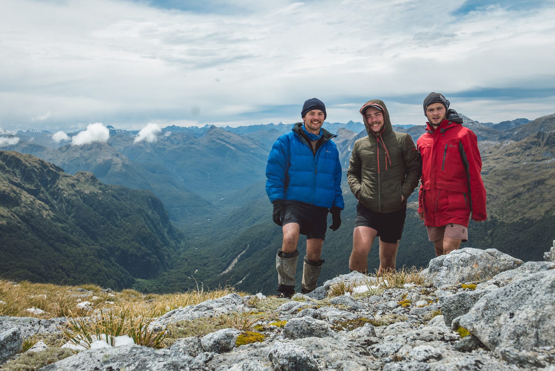
They tented two nights (the first and the last) and stayed in huts the rest of the time. Sam went with two others: a friend he'd done heaps with (a yes man with no car of his own, so he was forced to come tramping with Sam), and someone he'd never tramped with before. He's since done many tramps with the second, who also lives in Wellington.
Over the Merrie Range to Lake Roe
Sam had his misgivings at the first river crossing, which was up to his waist. Day one was a solid day of bush bashing up to the first lake. The night before they set out, there'd been a large dump of snow. They'd packed ice axes and crampons, and thank goodness, because they needed them to get over the range.
Day two was spectacular. Cascades flow down between the lakes, and as they climbed, everything was covered in a cookies and cream layer of snow. It was also the hardest part of the trip. They were following Moir's Guide, a well-known guidebook, but their route finding left a bit to be desired. They read part of it wrong and went up a bit they weren't meant to, crawling up rock on their hands and clambering up through scrub above the precipice, with their ice axes catching in the bushes and looking down at the abyss. Terrifying. Sam doesn't regret it, though it's easy to say that now.
The lesson he took away: make sure you understand every word in a guidebook. It's really inconvenient to be standing on the side of a mountain, told to follow the cataract, wondering what a cataract is. It's a really big waterfall.
Then they dropped down to Lake Roe, a lovely spot at Furkert Pass.
Loch Maree, Supper Cove and Dusky Sound
From Lake Roe, you walk down the Pleasant Range with spectacular views, then clamber very steeply down, with chains on the track, to Loch Maree on the Seaforth River. It's an earthquake lake: a quake blocked the river and drowned the valley, and old tree stumps still stand in the water. The Seaforth flows out to Supper Cove and Dusky Sound.
Along the way, there's an odd bit of history. At one point, people tried to build a road from Dusky Sound to connect the west and east of the South Island. The workers had such a terrible time that they downed tools, and you'll find a pile of pickaxes and buckets beside the track where they left them.
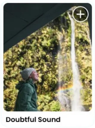
From Loch Maree, they did the out-and-back down the Seaforth to Supper Cove Hut, on Dusky Sound. The day before was an expected 11-hour day, squeezed in so they could have a rest day there: no walking, just fishing off the rocks, watching sharks and going for a swim. It's a majestic spot, where you can throw a handline off the rocks and catch blue cod. The only downside is the sandflies, in plague proportions, and you can't see sandflies in photos.
Then they walked up the Seaforth, over Centre Pass, down to the Spey, and back up the power pylon road to Percy Saddle and down to Lake Manapōuri.
It's southern Fiordland terrain: deep U-shaped valleys, chains of lakes left behind when the glaciers receded, and a lot of forest, rivers, swamps and beautiful, beautiful lakes. Sam's highlight was coming over the Merrie Range.
Cameras, cards and lessons from Dusky
The pack items Sam was glad of:
- A raincoat. Welcome to Fiordland.
- A handline, for fishing at Supper Cove.
- A pack of cards. They made really good use of it playing rummy in the huts.
Just before the trip, his 24 to 105mm lens, the one he uses for absolutely everything, broke, so he took his nifty fifty. He still got some cool shots, and it forced him to be more creative with his framing.
I had a similar thing over Easter weekend. On day one, the aperture on my heavy 24 to 70mm lens closed and wouldn't open again, so I had to crank the ISO at midday and felt like a bad photographer. I wished I'd brought my nifty fifty.
Sam's lens died on another trip too, between the Greenstone and Caples, right as they reached the pass. As he describes it, you feel really stupid, and:
"like a profound sense of loss about the photos that you can no longer take"
Tramping would be a bit sad if you didn't have any friends, he says. Solo tramping has its own vibe, but he loves the social side: sitting in the hut, staring into the fire wondering why you do it, then telling the stories at the pub afterwards and remembering why you walked eight hours through the snow on a Saturday when you could be tucked up in bed.
"I think the best stories are those where something goes wrong or something isn't quite expected … and you may end up having a type 2 experience but it only makes for the better story afterwards"
Stepping up from Great Walks
A lot of people are keen to move on from Great Walks and explore their own backyard. Sam's advice:
- Join a tramping club. They may seem a little old school, but they're underrated, and a great network of experienced, outdoorsy people in your area.
- Or get a group of friends together, look at the map, the DOC website, AllTrails or Hutbagger, and do trips in your own backyard.
- Do overnighters. They're really good prep for longer trips. Once you're in a rhythm, you work it out as you go.
"a longer trip really is just a short trip but multiplied by eight days or four days or however long it is"
Food for a longer trip
You do have to think about rationing. The easy way is to buy eight days of pre-made meals. Otherwise, use weekend trips to work out how much porridge you eat in the morning and how much instant mash you need for a meal. Sam's a big fan of anything dehydrated that doesn't cost an arm and a leg: dehydrated mash, peas, couscous and pasta. The next level is dehydrating your own, which is surprisingly easy if you have a dehydrator.
For snacks, there are two types of trampers. One of Sam's friends never stops for lunch and snacks all day. Sam is from the other camp: morning tea, lunch and afternoon tea. Weekend trips help you learn how much you want to eat, and if you can't stay away from the gummy snakes, prepacking each day's quantities helps with the rationing.
I'm the person who saves everything just in case, and carries it for days. On a recent hike I took a massive bag of nuts and ate none of it, because it was too much effort to dig out, while someone else had rationed theirs into days and actually ate them. Sam's flip side: eat the whole bag on day one and you don't have to carry it.
That's the bit I think can't be underestimated: you can get all the advice in the world, but on the trail you need to know what you need, what your non-negotiables are and what you can leave behind.
Sam agrees. Know yourself, and as you go out more you'll realise what you won't need and what you will. The flip side is being open to advice, especially if you didn't grow up doing this stuff. So many people have wisdom they want to pass on, and there's a real shortage of people taking it up.
If you've never tramped
Start by walking. Walking all day uses different muscles than you'd think, and you can be an absolute gym rat and still get kicked in the butt by a big hill (go into the Tararuas and you'll feel the pain). You don't need to be a super athlete, but working on your fitness means you'll thank yourself halfway up the hill. You don't have to do an overnight first: go for short walks, and ask friends or tramping clubs what suits your ability. That way you don't have to give yourself a traumatic experience, unless that's what you're looking for.
Work, photo albums and what's next
Sam works for the government in Wellington and does a nine-day fortnight, so every second weekend is a three-day weekend (mostly for life admin). The writing and photography side hustle doesn't feel like work to him. It's the storyline of his life: he blogs his trips, often with historical research on the huts and tracks, and prints stacks of photo albums. He grew up with a bookshelf of tramping albums from the 80s, full of photos of his parents out in the mountains, and wanted that for himself when he's older.
Every December, he realises he hasn't planned his New Year's trip. Next on his list:
- More of Arthur's Pass. He's spent lots of time in Nelson Lakes to the north, and in the areas to the south from his five years living in Dunedin.
- George Sound, in Fiordland, which looks like an absolutely punishing tramp, right up his alley.
- The Southern Circuit on Stewart Island.
Places from this episode
- Dusky Track
- Fiordland
- Florence Stream
- Merrie Range
- Lake Roe
- Furkert Pass
- Pleasant Range
- Loch Maree
- Seaforth River
- Supper Cove
- Dusky Sound
- Centre Pass
- Spey River
- Percy Saddle
- Lake Manapōuri
- Hauroko Burn Hut
- Halfway Hut
- Tararua Range
- Ruahine Range
- Longview Hut
- Howletts Hut
- Wellington
- Nelson
- Nelson Lakes
- Travers Valley
- Mount Richmond Forest Park
- Greenstone and Caples
- Arthur's Pass
- George Sound
- Stewart Island
Follow Sam
- Instagram: @triompher
- Website: shphotographynz.com, with links to all his writing
- Medium, where he publishes his writing
Links from this episode
- Follow Sam on Instagram: instagram.com/triompher
- shphotographynz.com/backcountrywriting
- Reflections on the Dusky
- Follow Abigail on Instagram: instagram.com/abigailhannnah
- Follow Aotearoa Adventures on Instagram: instagram.com/aotearoa_adventures_
More like this
- Hiking the Kepler Track in Fiordland with Dua
- A Sea Kayaking Expedition Along the Fiordland Coast with Mark Jones
- Full Time Vanlife and Staying Off-Grid in Fiordland with Jord and Tom
- Hunting Wapiti in Fiordland with Jarrod McLachlan
Until then, keep adventuring :)
The ultimate
NZ road trip adventure guide
Packed with insider tips and stunning photography, this is the only resource you need to plan your journey.