The Tama Lakes hike is one of the lesser known tracks in the Tongariro National Park, but it is a great day hike and can also be done in winter.
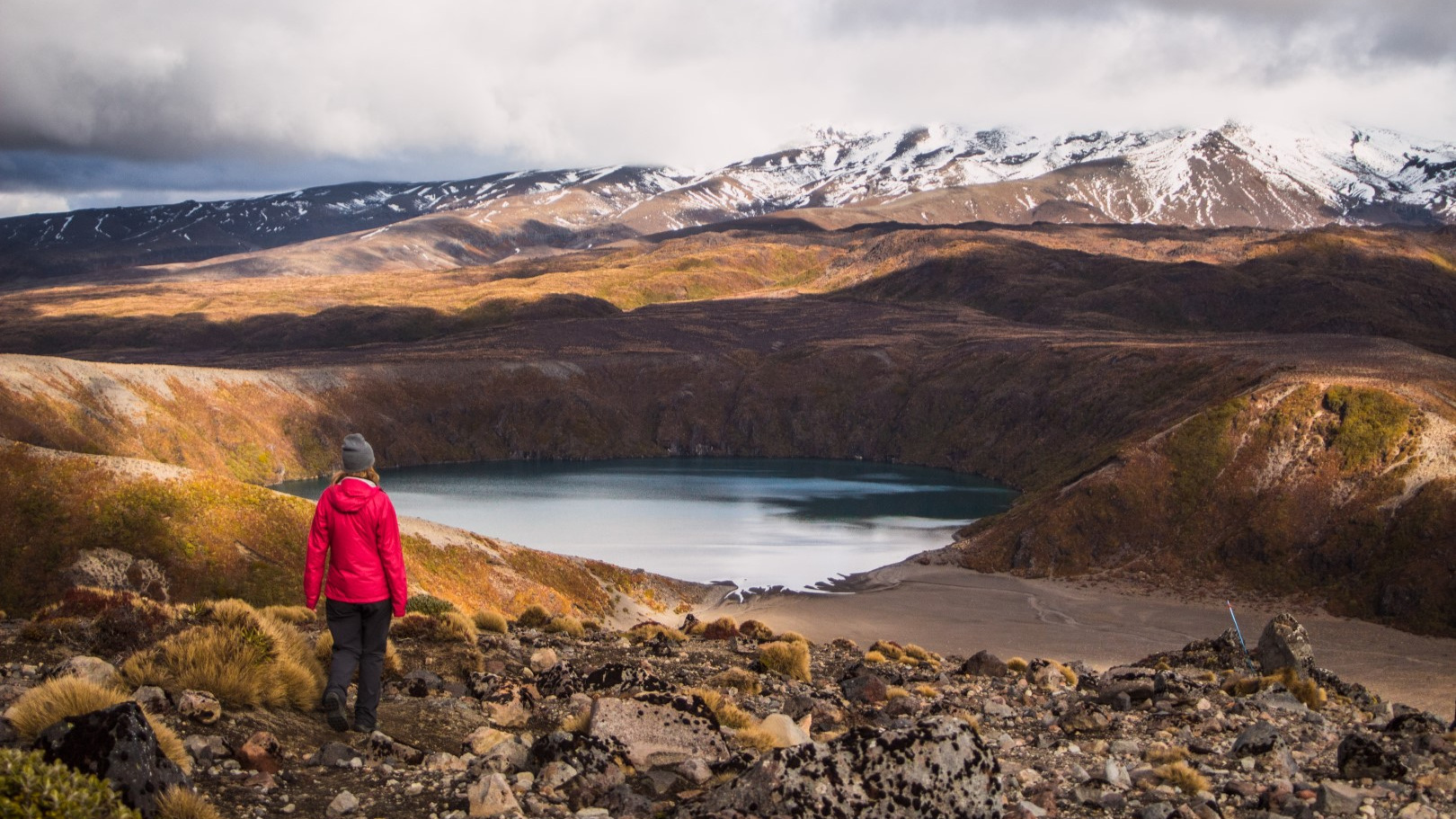
Not many people have heard of the Tama Lakes hike in Tongariro National Park. In fact, my extensive research (ie. an instagram poll) showed that 83% of people have never heard of the lakes. Well, now you’re in the 17% that has heard about it, because I’m here to tell you all about it!
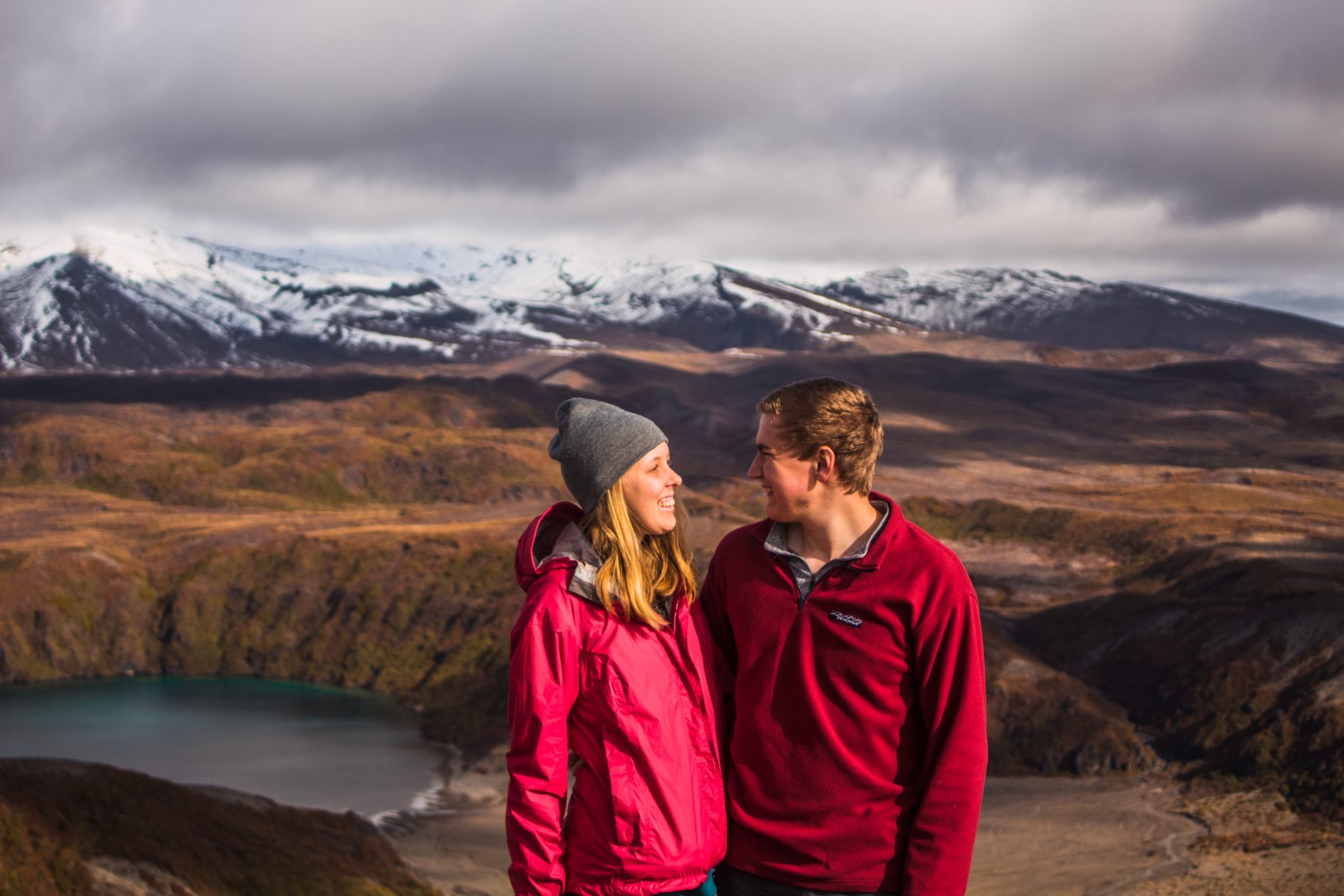
We hiked this track in the last weekend of June and despite it being mid-winter, we didn’t have to trek through any snow or ice. We didn’t take any extra gear – except we had a few more layers than we would have needed in summer.
The 17 km return track starts at Whakapapa village. There is a carpark at the iSite in Whakapapa village, but parking often fills up quickly on a weekend, as a lot of people are headed to the ski fields, so plan accordingly.
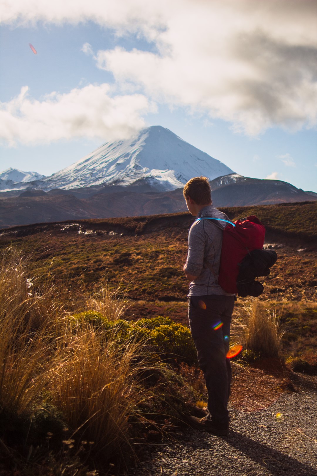
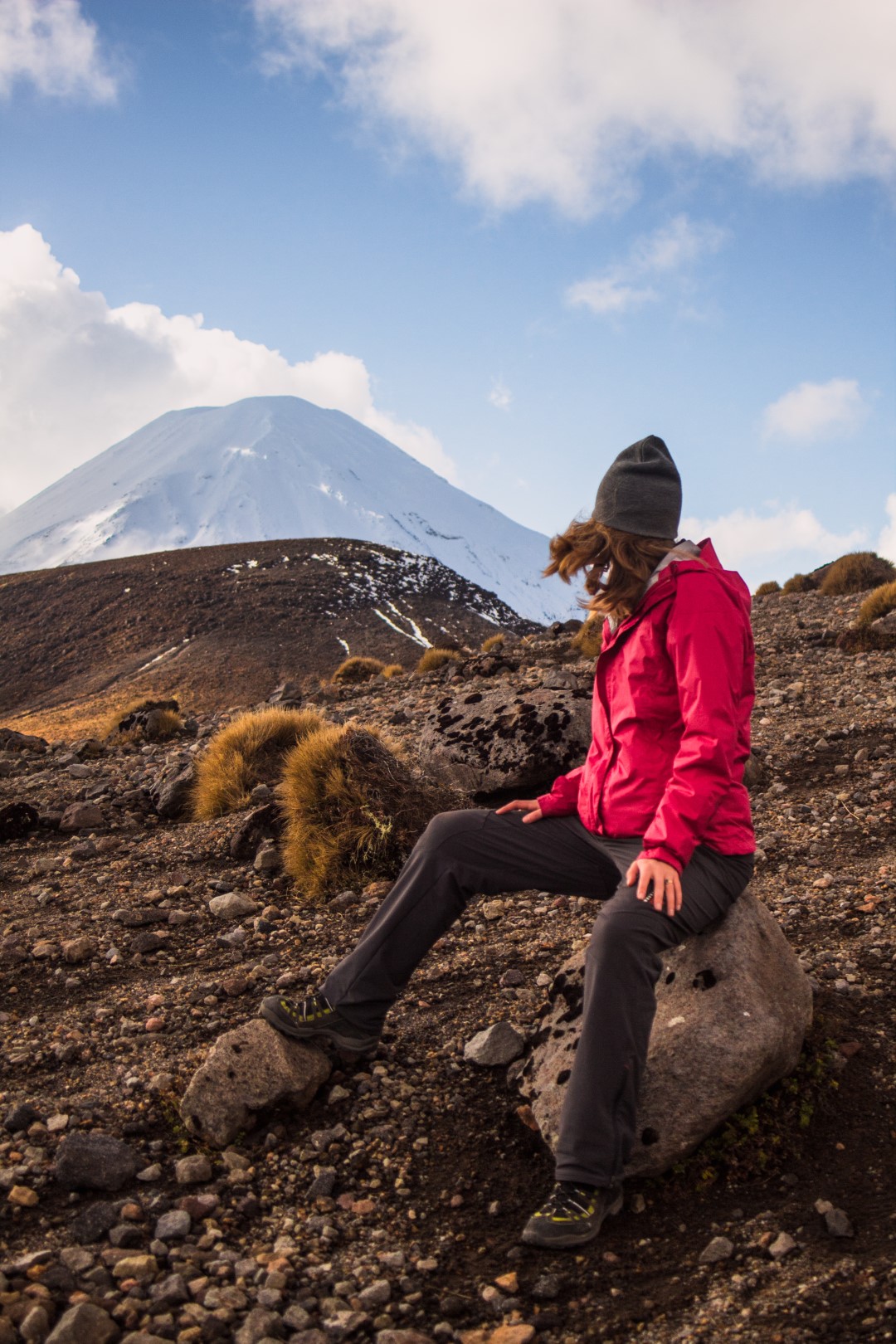
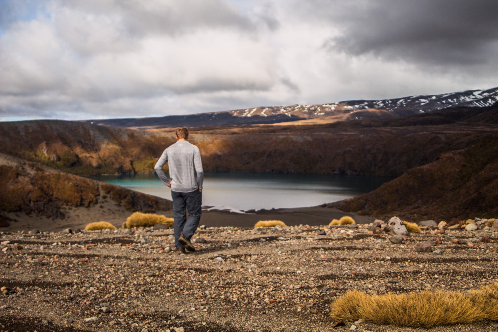
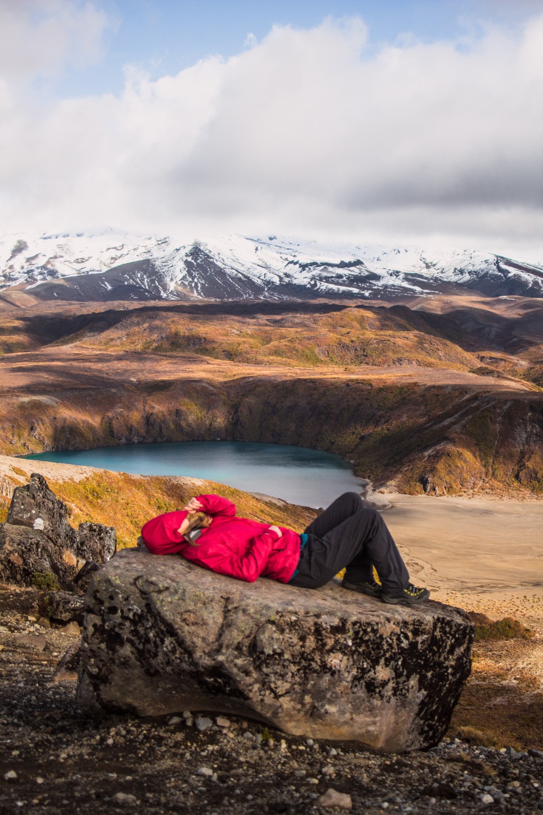
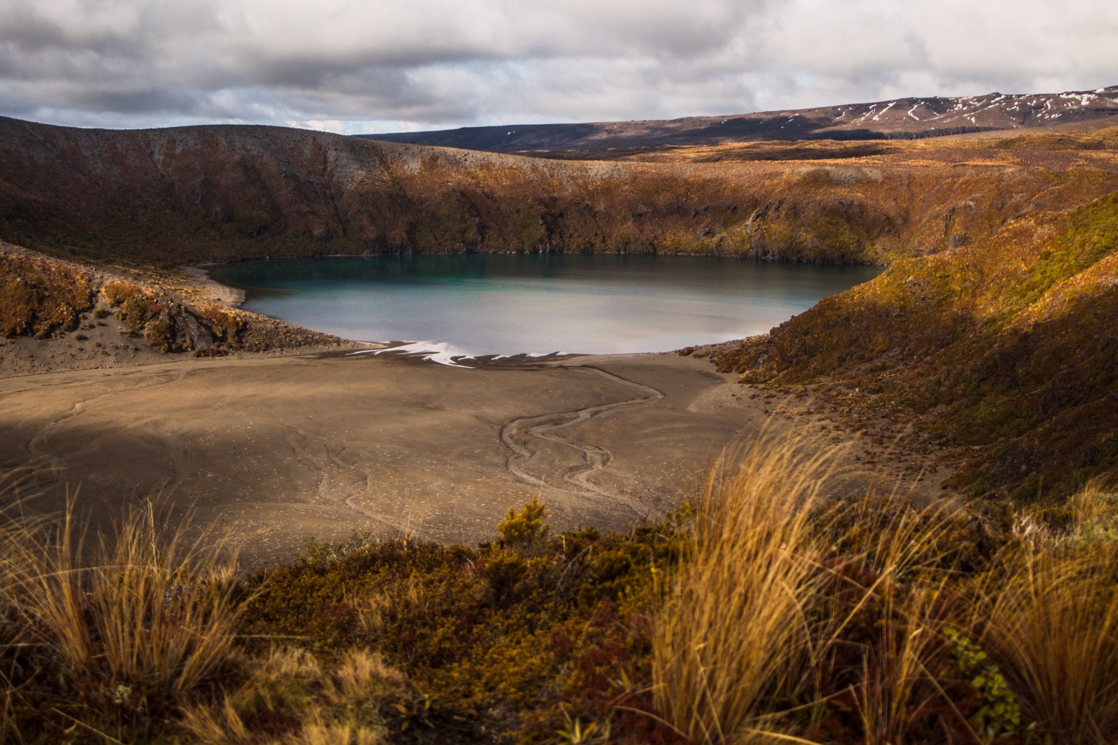
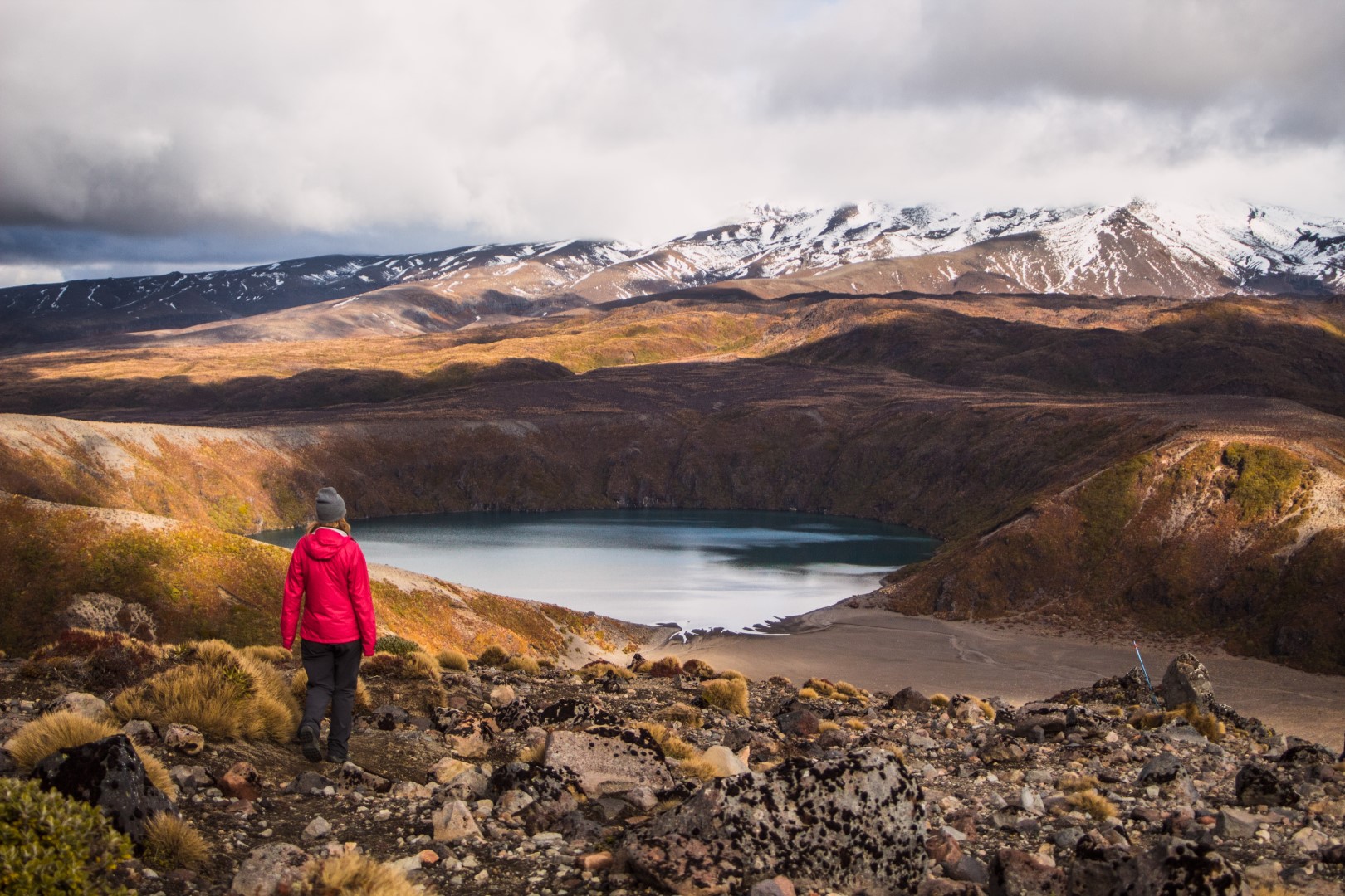
There are two lakes at the end of the track – Lower Tama Lake & Upper Tama Lake. There are six volcanic craters and three of these create the lakes. Two craters form Upper Tama Lake, creating a horseshoe shape & one crater forms Lower Tama Lake. The lakes are freshwater and oh, so clear. The blue and green hues of the lakes are absolutely stunning. We even got a few moments with absolutely no wind on the surface of the lake, it looked as smooth as glass!
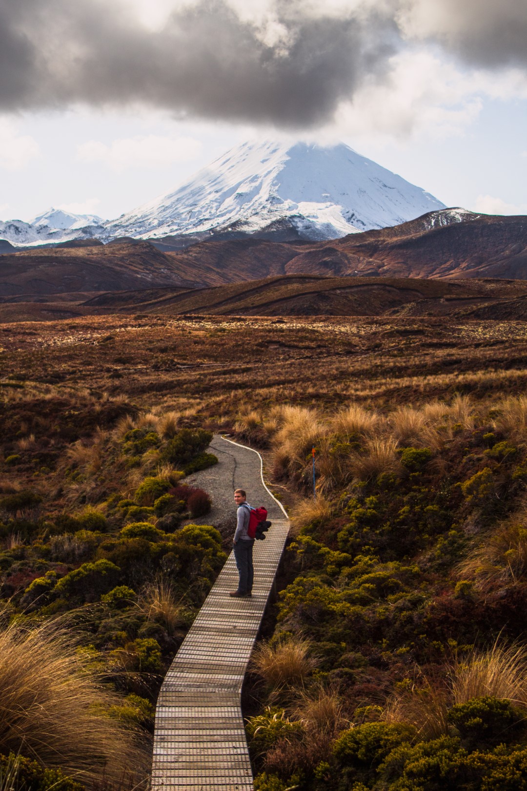
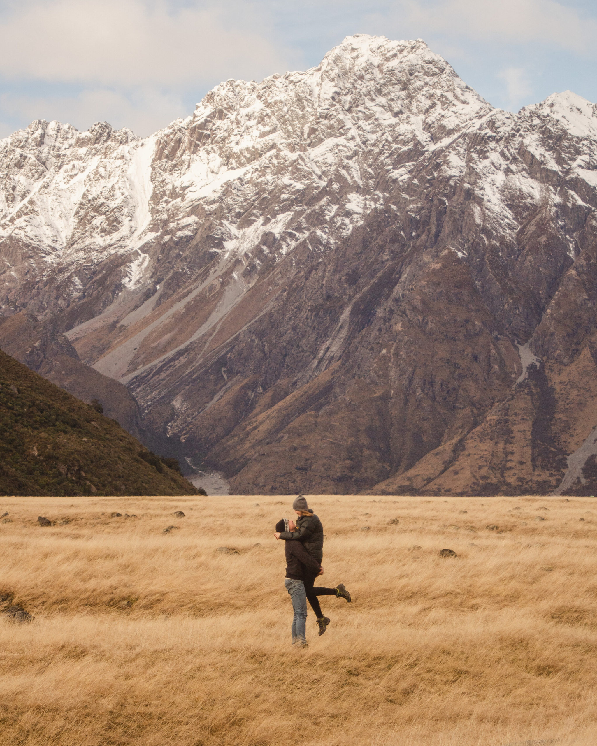
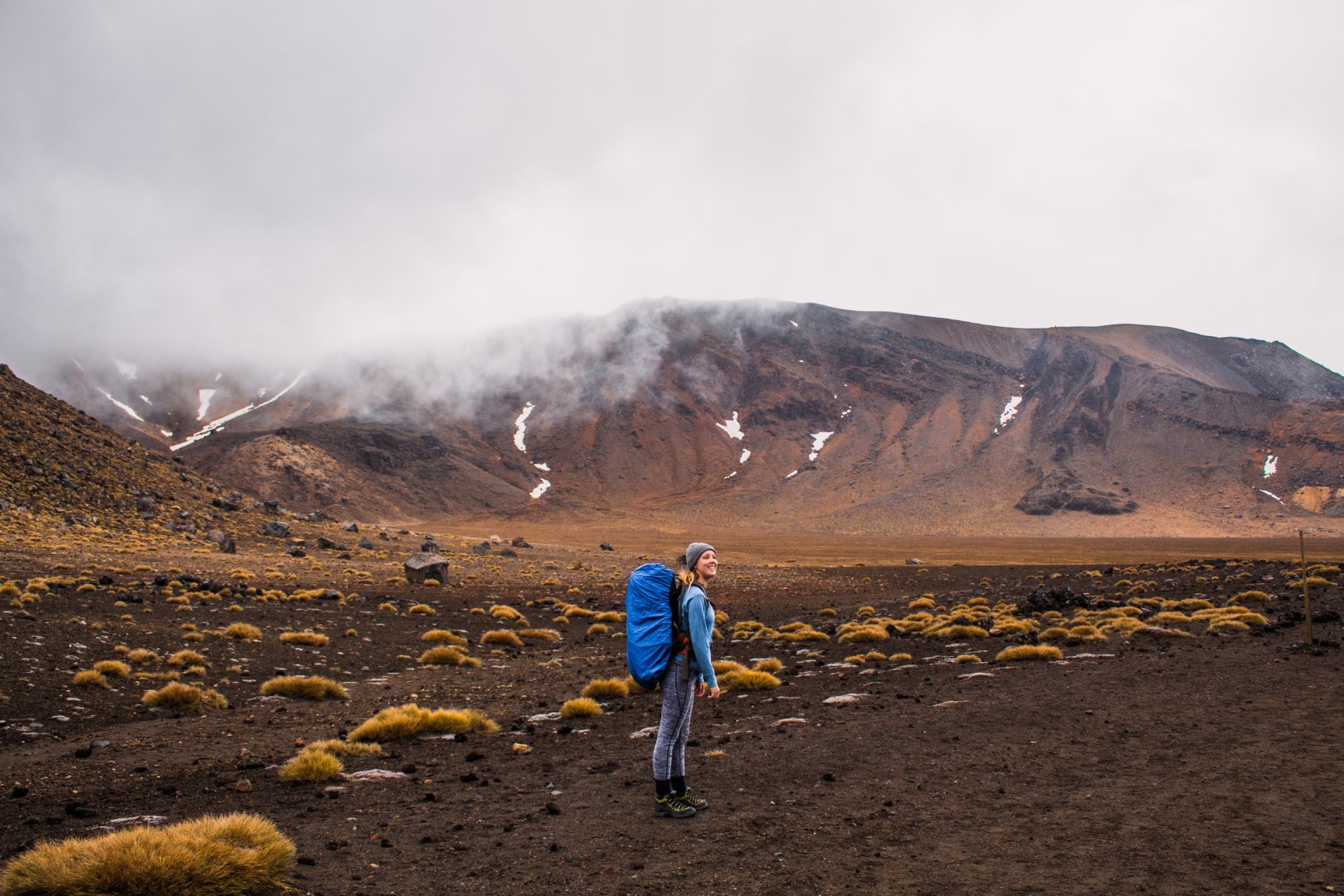
The track to Lower Tama Lake is mostly flat, with only moderate up & down, through fields of tussock and alpine shrubs. From Lower Tama Lake to Upper Tama Lake, you follow the ridge line and climb up a scree slope, gaining 200m altitude. This was the most difficult part of the track, but also because it’s the last bit.
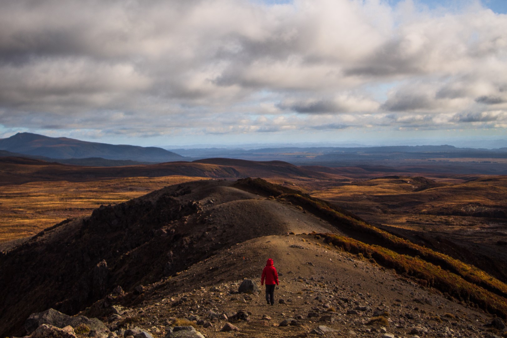
Isaac definitely pushed and pulled me up, promising chocolate and food at the top, and it was SO worth it.
While we ate our (cooked) lunch at the top of the ridge, we looked over both lakes, to our left and to our right.
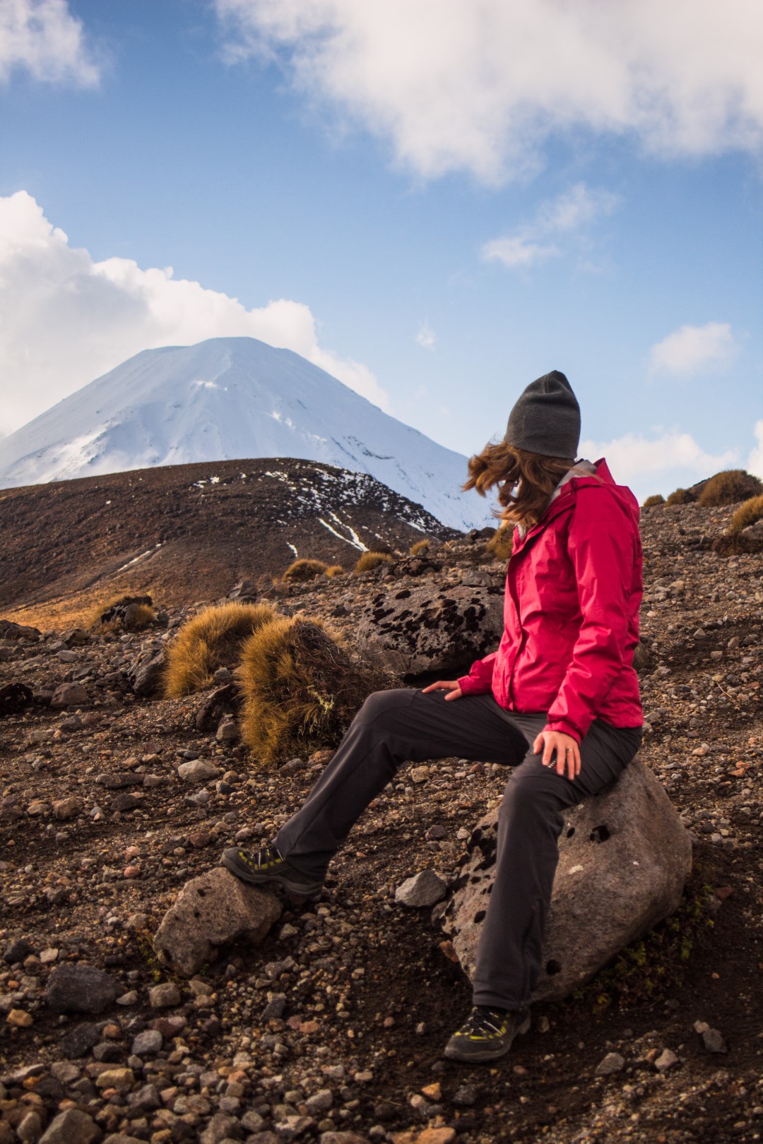
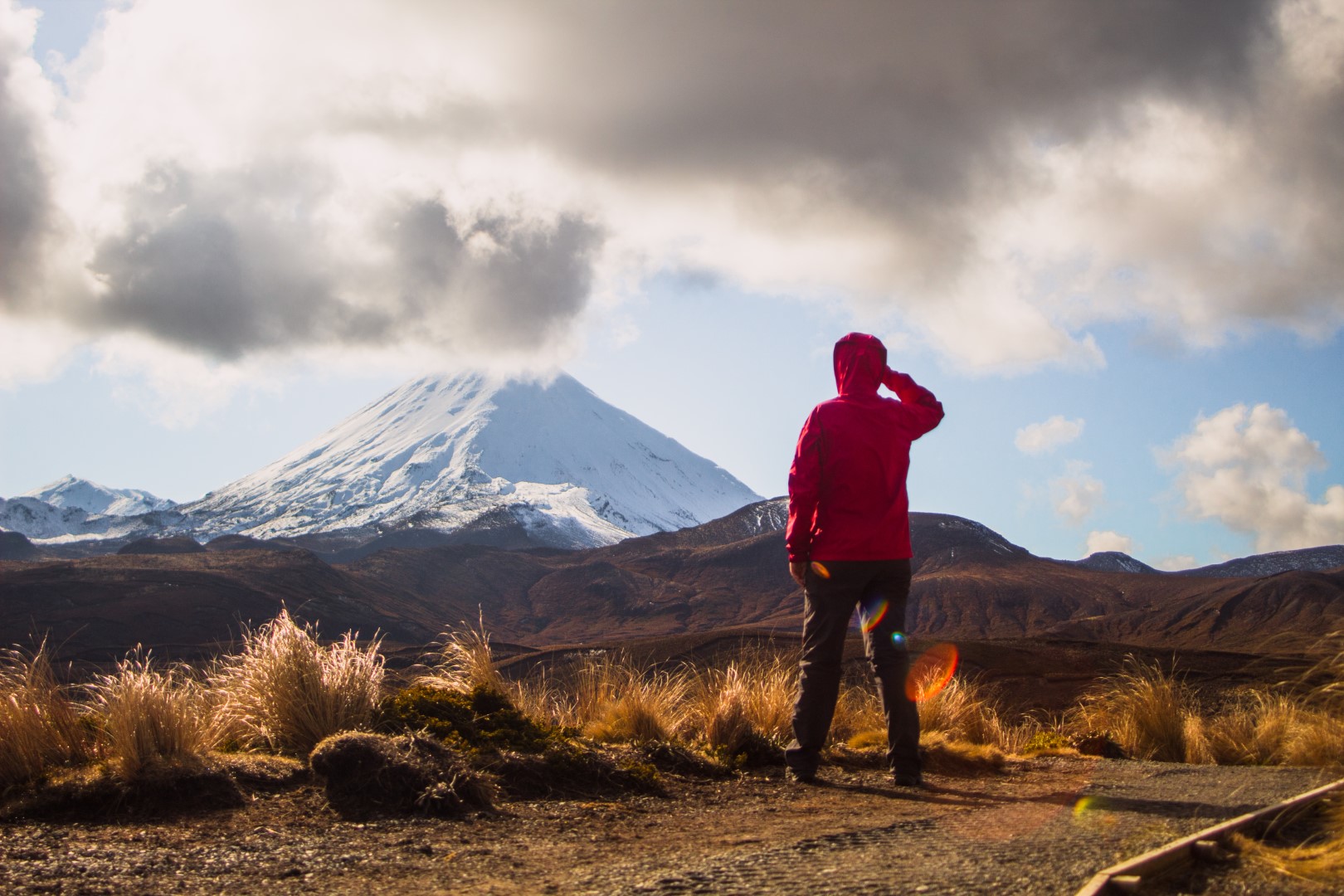
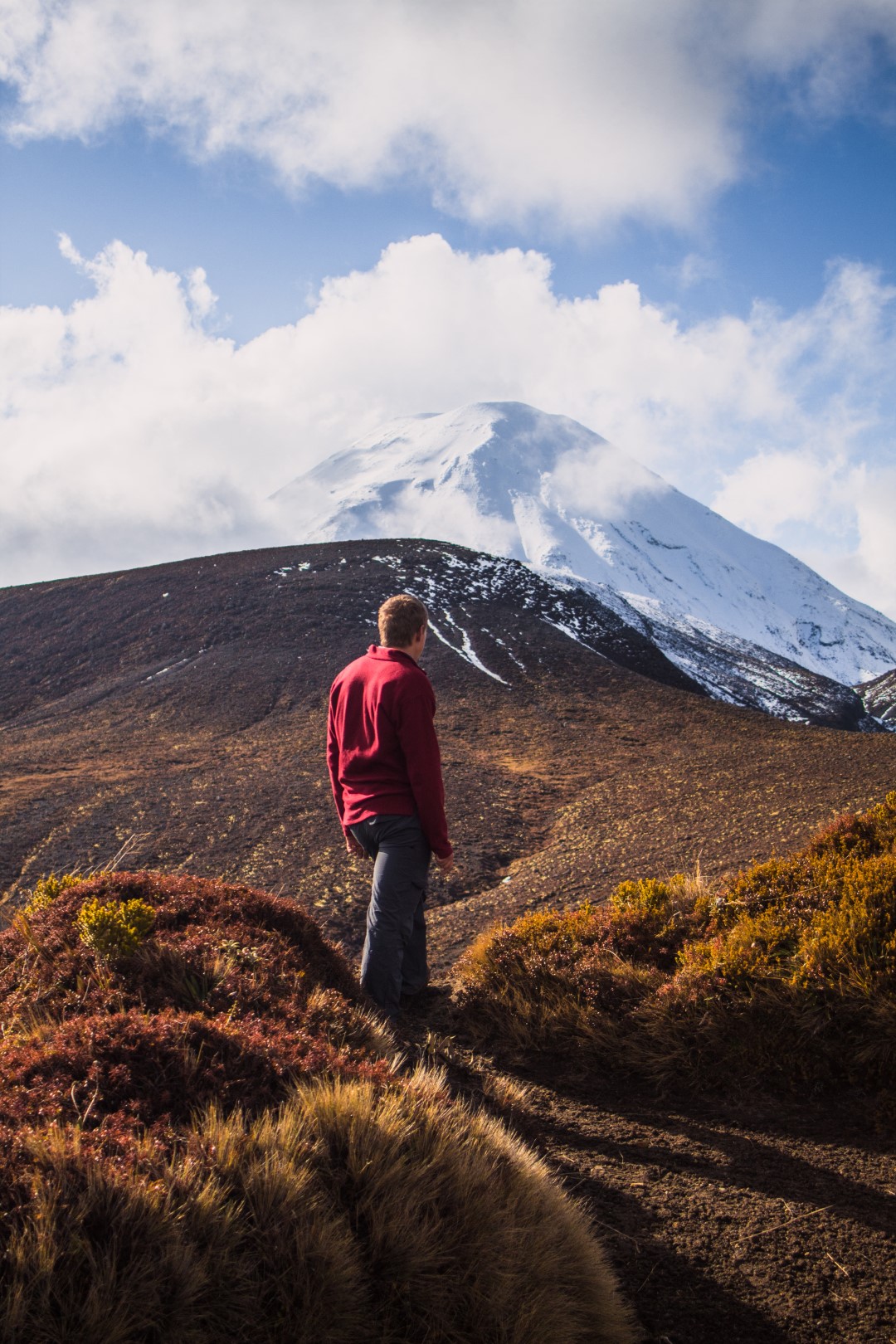
Looking out across Lower Tama Lake and across the tussock filled valley, Ruapehu’s peak was hidden in cloud, but the lower snow-sprinkled slopes looking beautiful. Looking across the other side was Upper Tama Lake, reflecting the magnificent snow-covered Ngarahoe peak, which looked close enough to touch.
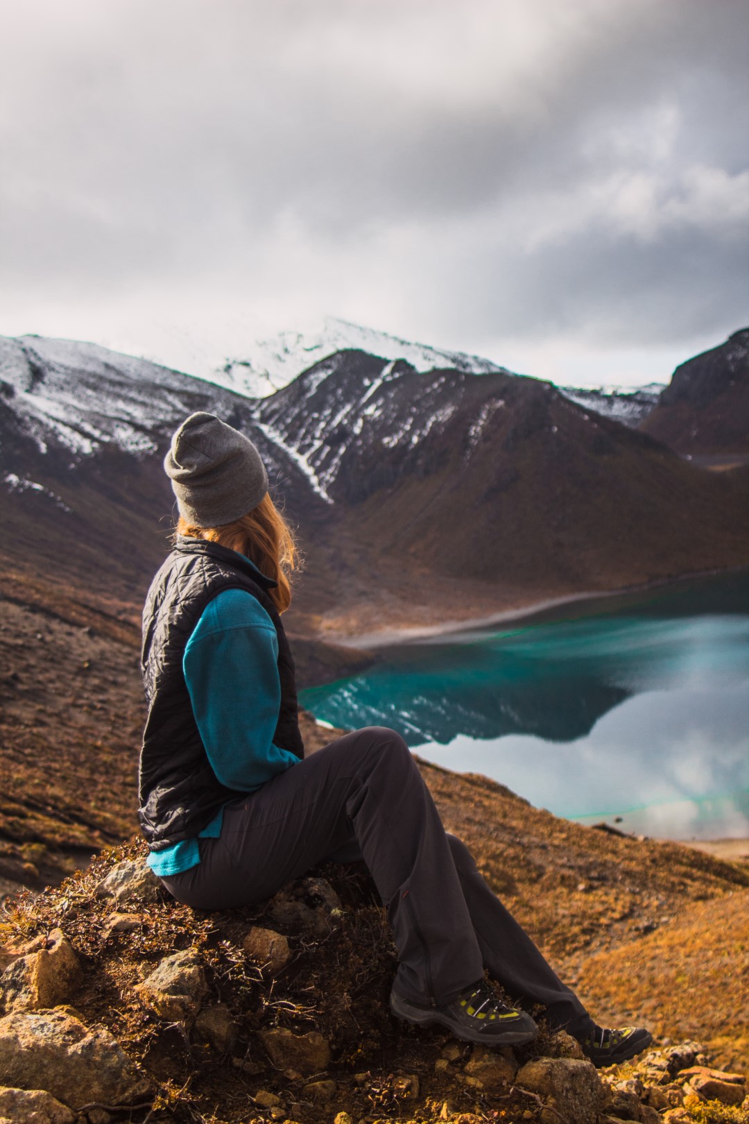
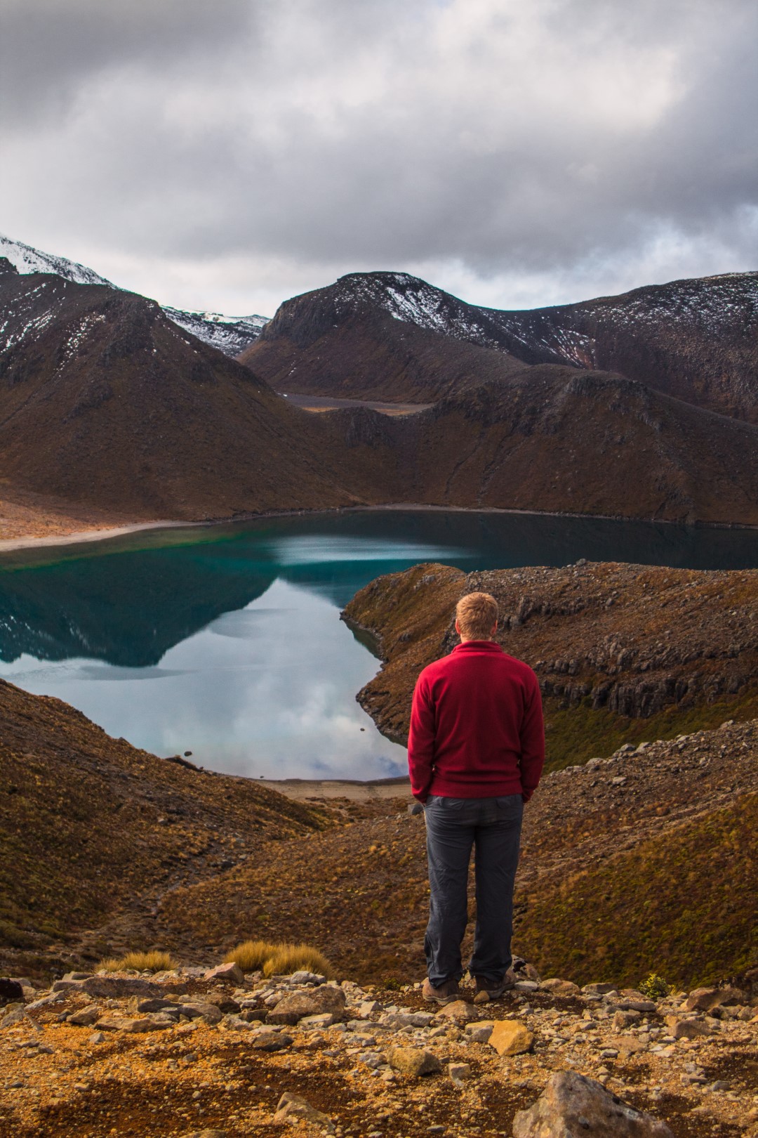
I think that is definitely the best view I’ve had while eating ramen. Massive shoutout to the husband for carrying a cooker & water so we could have a hot lunch!!
I think I’ve said enough – the track was so beautiful, the views at the end were spectacular and I’d absolutely do it again. In summer you’ll miss the crowds doing the Tongariro Crossing and it’s even do-able in winter without extra gear (depending on the weather conditions).
Important: Please check the weather forecast and be aware that you’ll be walking in an alpine environment with rapidly changing weather conditions at all times of the year. Take warm and waterproof layers and be prepared for all weather conditions. Only do what you feel comfortable with. before you go into the outdoors, tell someone your plans and leave a date to raise the alarm if you haven’t returned.
Click here for more information about the Tama Lakes Track

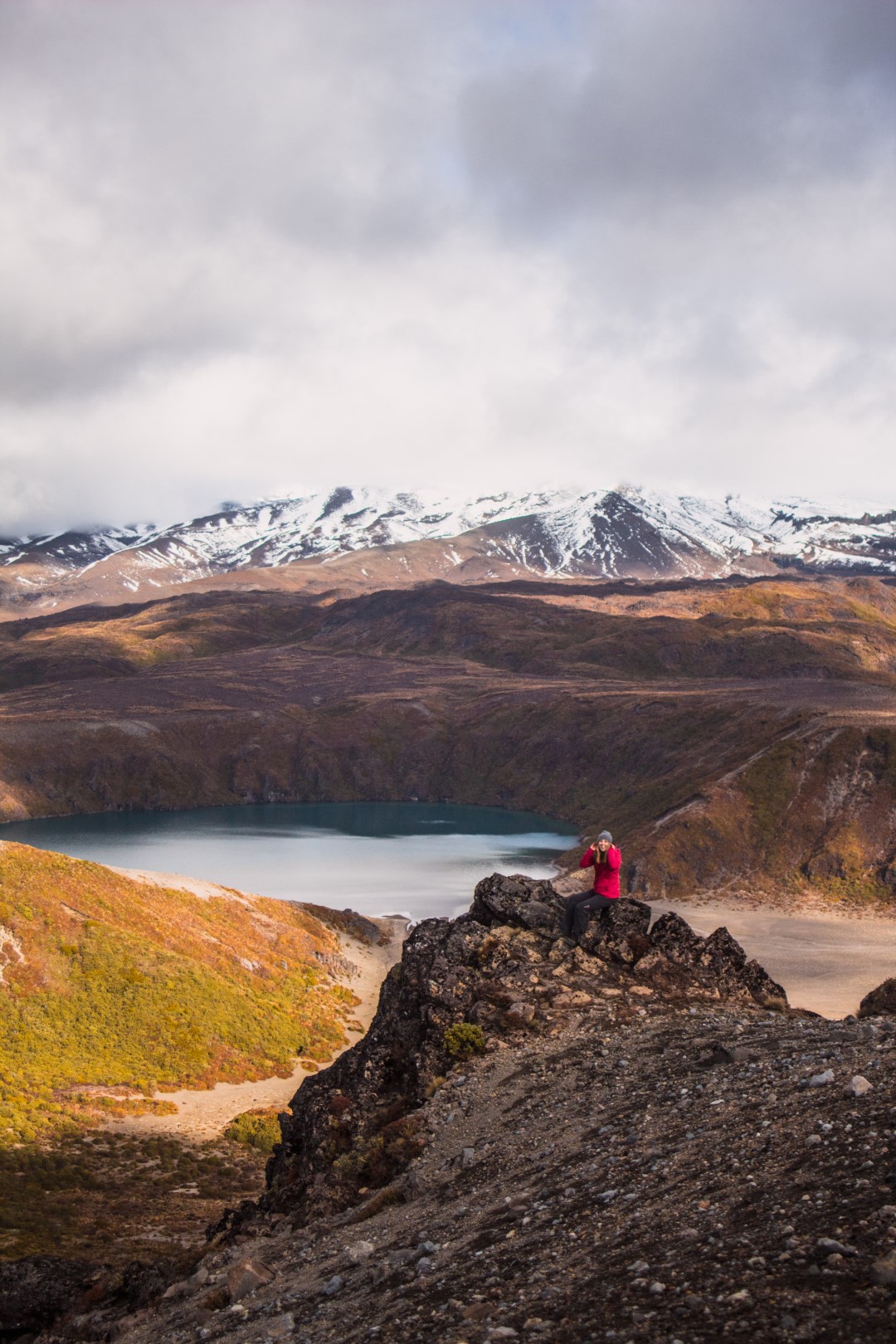
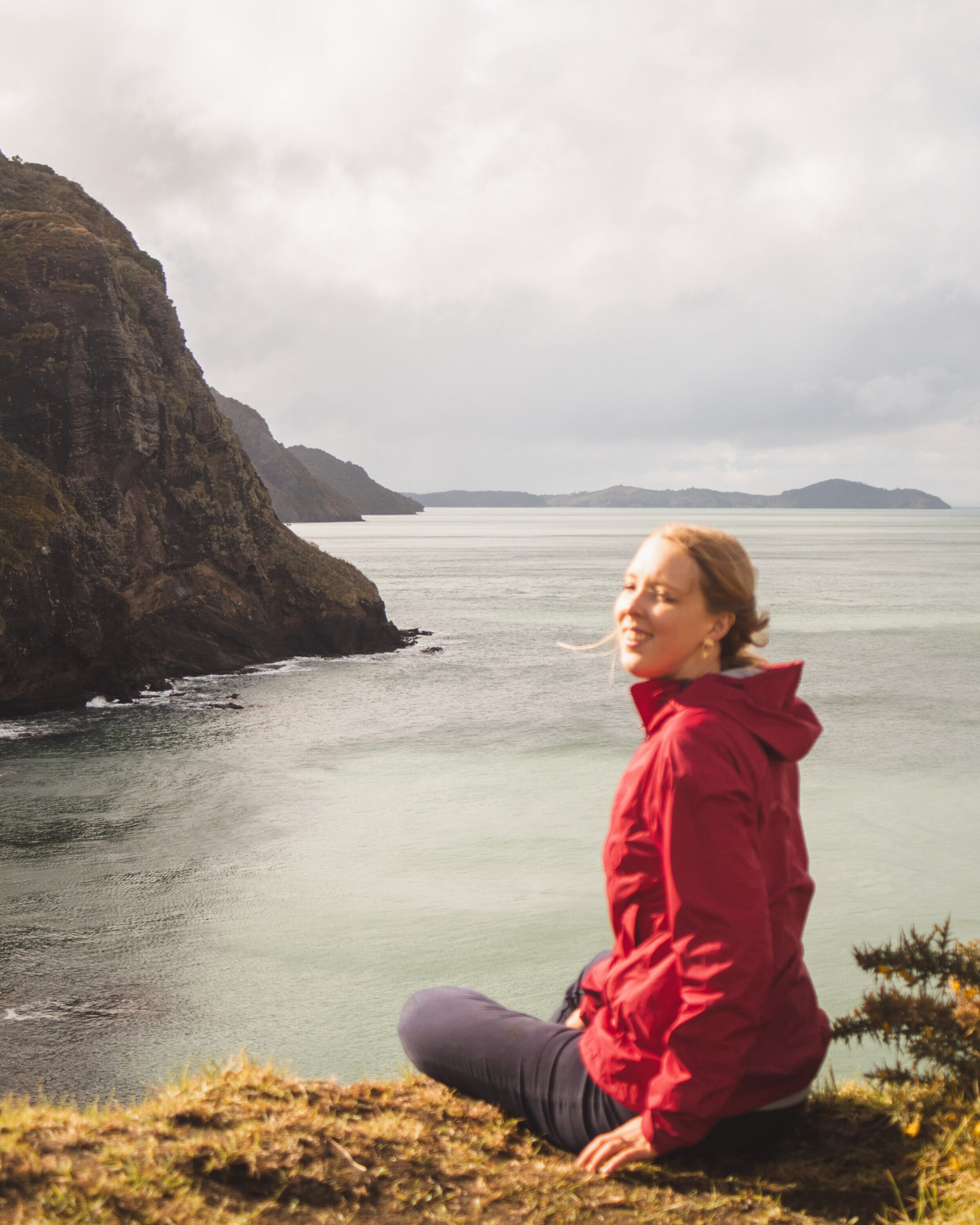






Love this blog post, Abigail! Definitely add this hike to my list – I’ve done the Tongariro Crossing but never any other hikes (apart from a few waterfall walks) in this area. Also, your photos are gorgeous – in the photo of you sitting on a rock overlooking the Upper Tama Lake or the Lower Tama Lake? The water looks so clear and blue!
Lucy, thanks so much for stopping by! I’m so glad you’re adding this to your list, it really was one of my favourite hikes I’ve done. That picture is overlooking Upper Tama Lake. There was no wind and the surface looked like glass, sooooo blue.